Dokumente & Ressourchen - Suchergebnisse
Suchergebnisse
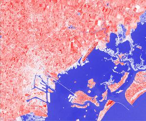
A View from Above astroEDU Bildungsaktivität Beschreibung: How do satellites take images of the Earth surface and how do we analyse and use them?
Glossar-Begriffe:
Erde , Licht , Künstlicher Satellit
Kategorien:
Der Planet Erde
, Teleskope, Instrumente und Observatorien
Schlagworte
Climate
, Copernicus
, Earth observation
, Landsat
, Maps
, Remote sensing
, Sentinel
, Vegetation
Altersgruppen:
14-16
, 16-19
Bildungsniveau:
Middle School
, Secundaria
Lernbereiche:
Structured-inquiry learning
Kosten:
Low Cost
Dauer:
1 hour 30 mins
Gruppengröße:
Group
Fähigkeiten:
Analysing and interpreting data
, Asking questions
, Communicating information
, Constructing explanations
, Developing and using models
, Engaging in argument from evidence
, Using mathematics and computational thinking
Autoren: Markus Nielbock
Lizenz: Creative Commons Namensnennung 4.0 International (CC BY 4.0) Creative Commons Namensnennung 4.0 International (CC BY 4.0) Symbole