This page describes an image Horizontal Coordinate System

Descargar archivo ( imagen 1.76 MB)
Descargar archivo PDF (PDF file 165.78 kB)
Also available in black and white
Descargar archivo ( imagen 483.06 kB)
Descargar archivo PDF (PDF file 136.70 kB)
Pie de foto del diagrama:
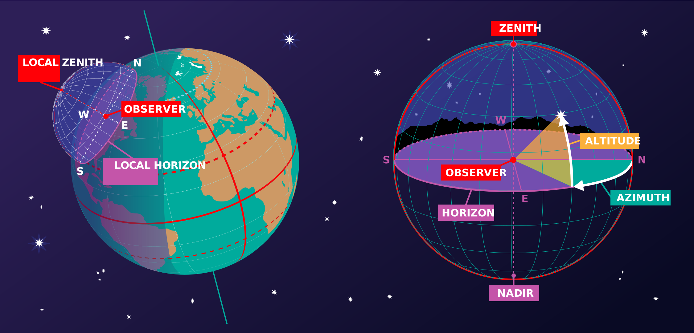
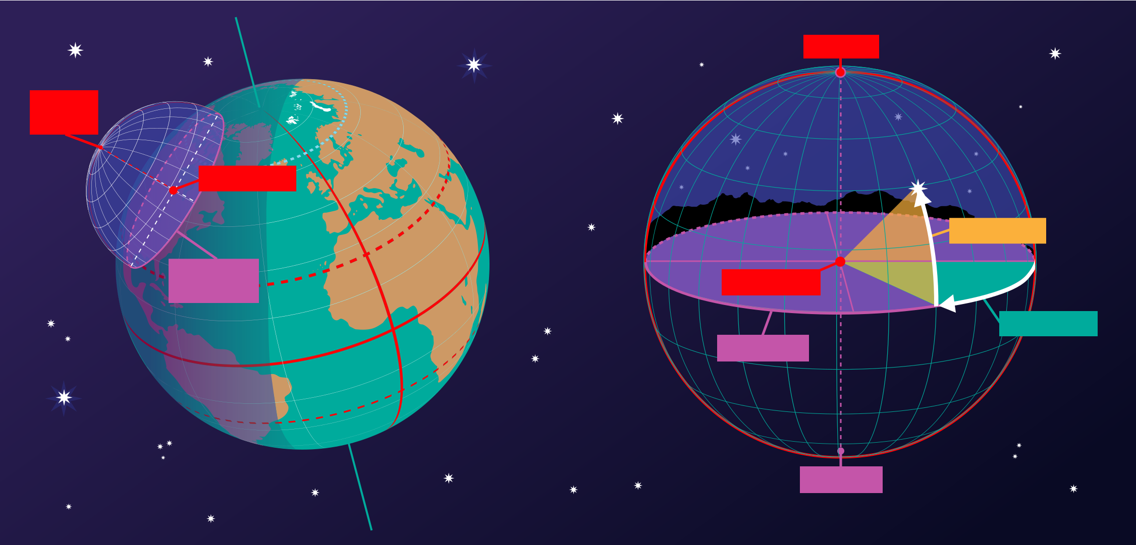
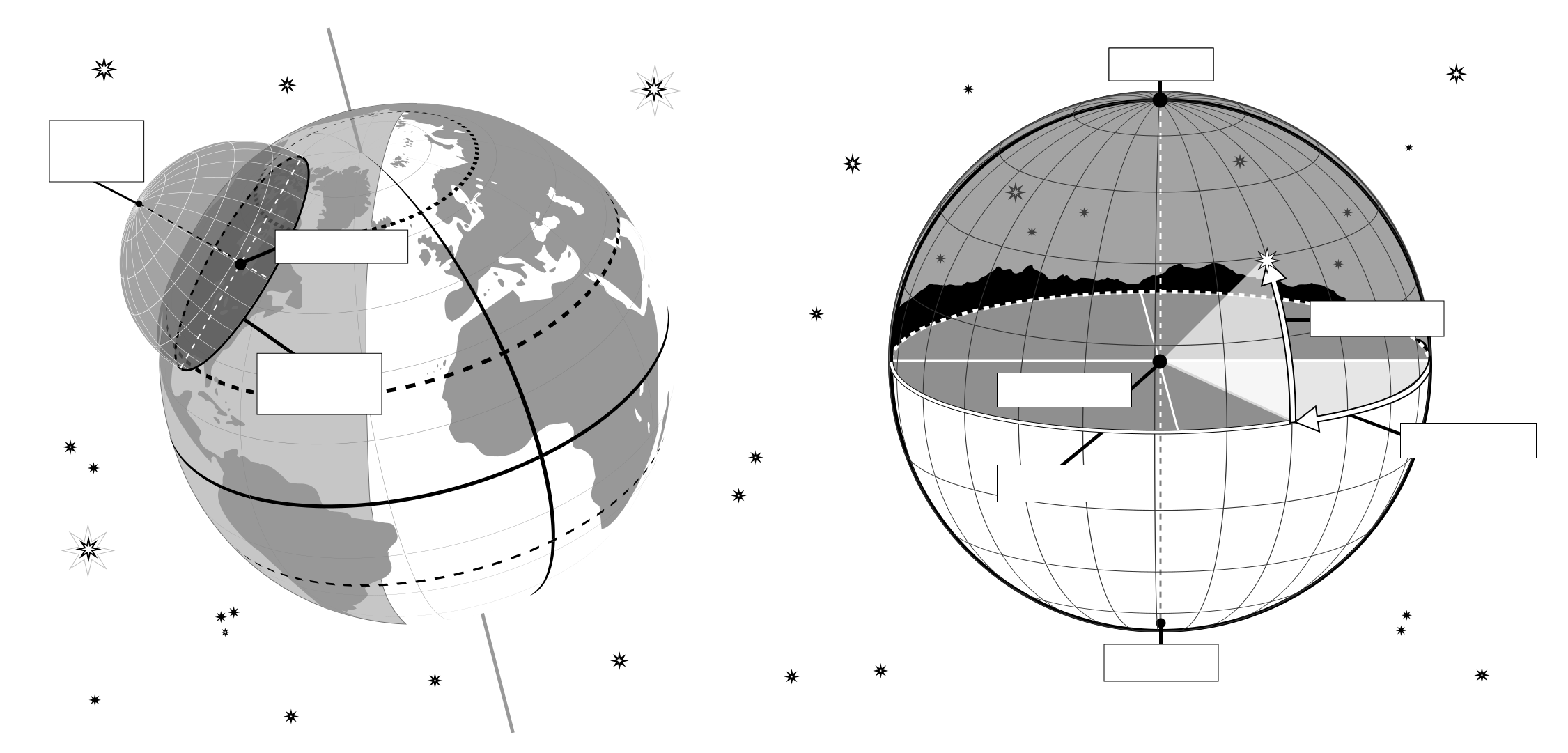
This image shows the horizontal coordinate system of an observer on Earth. On the right we see the coordinate system in the local context of the observer. The observer appears here as a point surrounded by the celestial sphere. The ground appears as a plane, while the Earth is round, we can approximate the ground in the area around the observer as a plane. The line where this plane intersects with the celestial sphere is the horizon. The point directly above the observer is the zenith, the point directly below the observer is the nadir which is hidden by the ground.
Two coordinates define this coordinate system, altitude and azimuth, hence the reason this sometimes called an alt-az coordinate system. The altitude is zero at the horizon, maximum (90°) at the zenith and minimum (-90°) at the nadir. Azimuth is the angle around the horizon. Most commonly this is defined to be zero in the direction of north. Any point on the celestial sphere can be defined by these two coordinates. However what objects appear on these position will depend on the time and the location of the observer.
On the left-hand part of the diagram, we can see that when we put the observer and their local horizontal coordinate system in a global context, that the parts of the sky the observer can see depend on their position on the Earth and on the rotation of the Earth. The zenith points perpendicular to the Earth's surface so the position on the sky the zenith and nadir correspond to is dependent on the observer's latitude. The horizon also depends on the observer's position on the Earth.
Crédito del diagrama Maria Cristina Fortuna/IAU OAE.
Estado de la traducción del diagrama: Aún no ha sido aprobado por un revisor o revisora
Licencia del diagrama: Creative Commons Reconocimiento 4.0 Internacional (CC BY 4.0) Creative Commons Reconocimiento 4.0 Internacional (CC BY 4.0) íconos
Términos relacionados del glosario:
Acimut
, Altitud
, Cenit
, Horizonte
, Nadir
Categorías:
Astronomía a simple vista
, Astronomía observacional
¿Quieres hacer tu propia traducción o versión de este diagrama? Entonces
descarga la versión SVG
de este diagrama en inglés (237.62 kB). Puedes editarla utilizando
programas como Inkscape (gratuito) o Adobe Illustrator
(de pago). Solo recuerda citar al autor del original de forma adecuada.
Also available in black and white ( imagen 237.62 kB).
También puedes crear tu propia versión o traducción de este diagrama añadiendotexto a una versión de
este diagrama sin texto. Solo tienes que descargar uno de los siguientes archivos:
Descargar archivo sin texto( imagen 578.50 kB)
Descargar archivo PDF sin texto (Archivo PDF 175.90 kB)
Also available in black and white:
Descargar archivo sin texto ( imagen 450.79 kB)
Descargar archivo PDF sin texto (PDF file 141.72 kB)
Los pies de foto de los diagramas que aparecen en la página web de la OAE fueron redactados, traducidos y revisados gracias al esfuerzo colectivo de la OAE, los Centros y Nodos de la OAE, los Coordinadores Nacionales de Education Astronómica (NAECs) de la OAE y otros voluntarios. Una lista completa de créditos para nuestro proyecto de traducción puede encontrarse aquí. Todos los pies de foto de los archivos multimedia se publican bajo una licencia Creative Commons CC BY-4.0 license y deben atribuirse a la "IAU OAE" como fuente. Los propios archivos multimedia pueden tener diferentes licencias (véase más arriba) y deben citarse tal y como se indica más arriba en "credit".
Si detectas algún error en este diagrama o en su pie de foto, por favor get contáctanos.